Read More
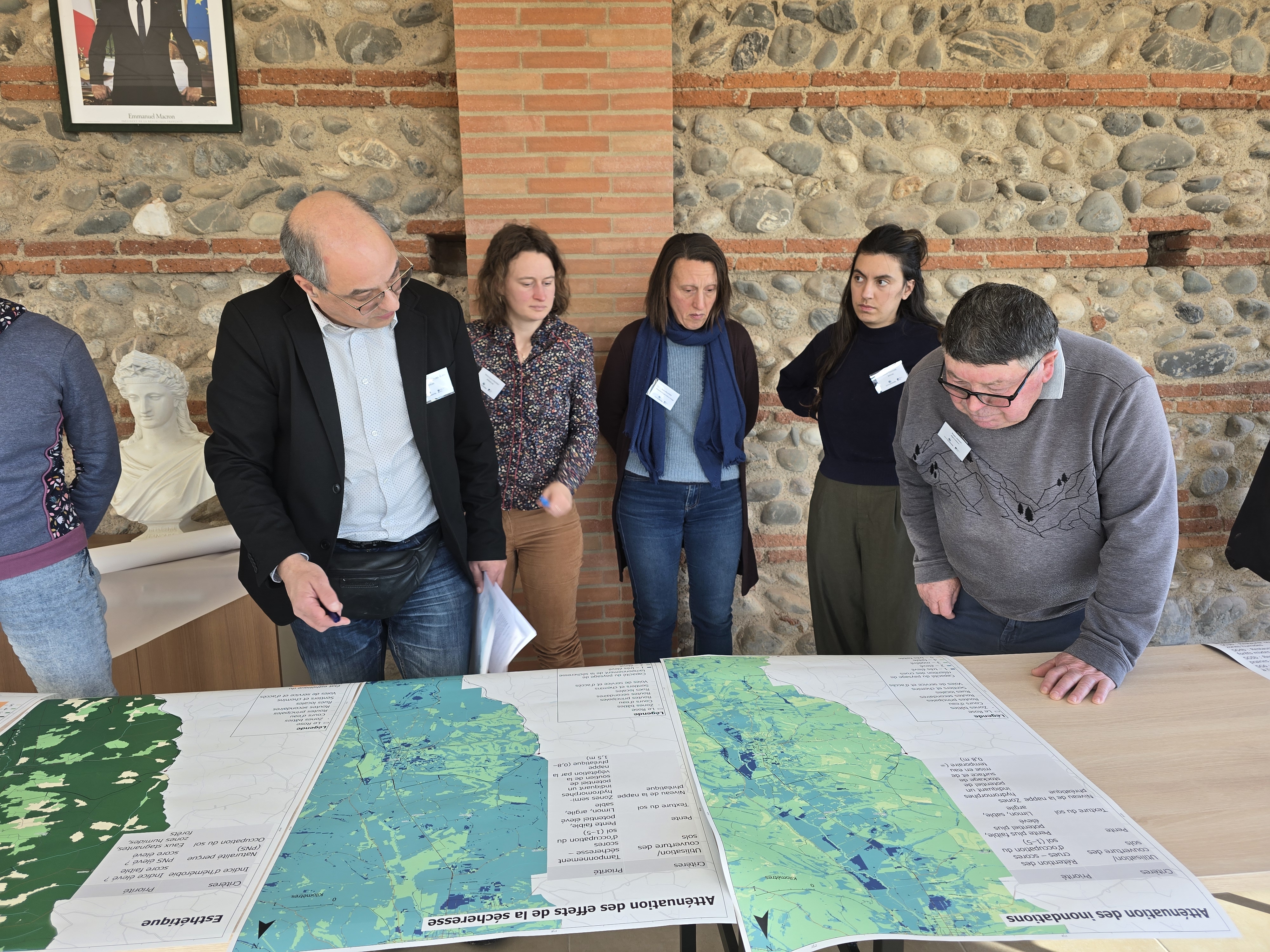
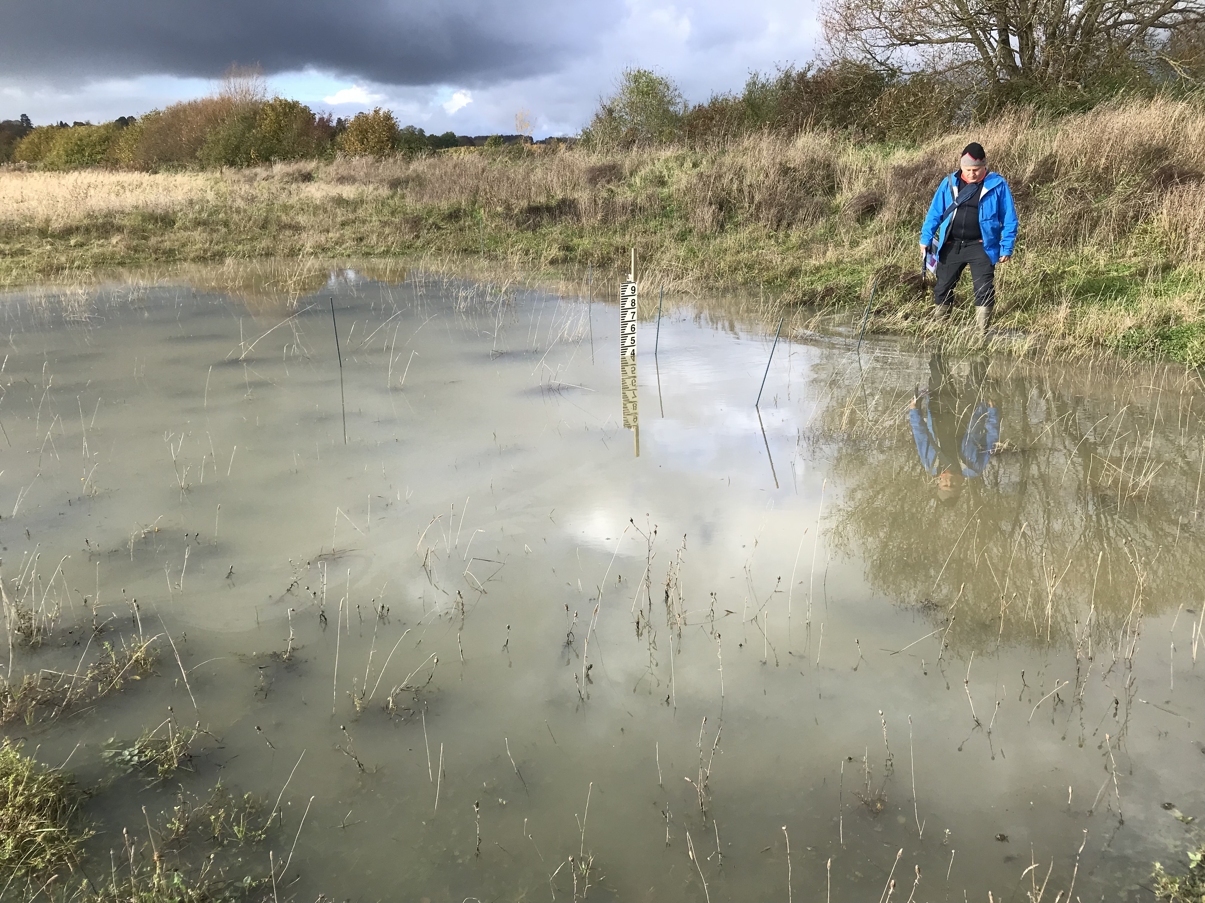
Flood risk in agricultural landscapes is often the result of decades of land use change. In the Evenlode river basin in southern England, a headwater tributary of the River Thames, river straightening, sedimentation in the river, soil compaction, and increasing built surfaces have reduced the land’s ability to absorb water. As a result, water runoff moves more quickly through the landscape, increasing flood risk on downstream communities. In 2007, a major storm flooded homes in one of the villages.